Vegetation Sensitivity Index: Mapping Climate Change Risks

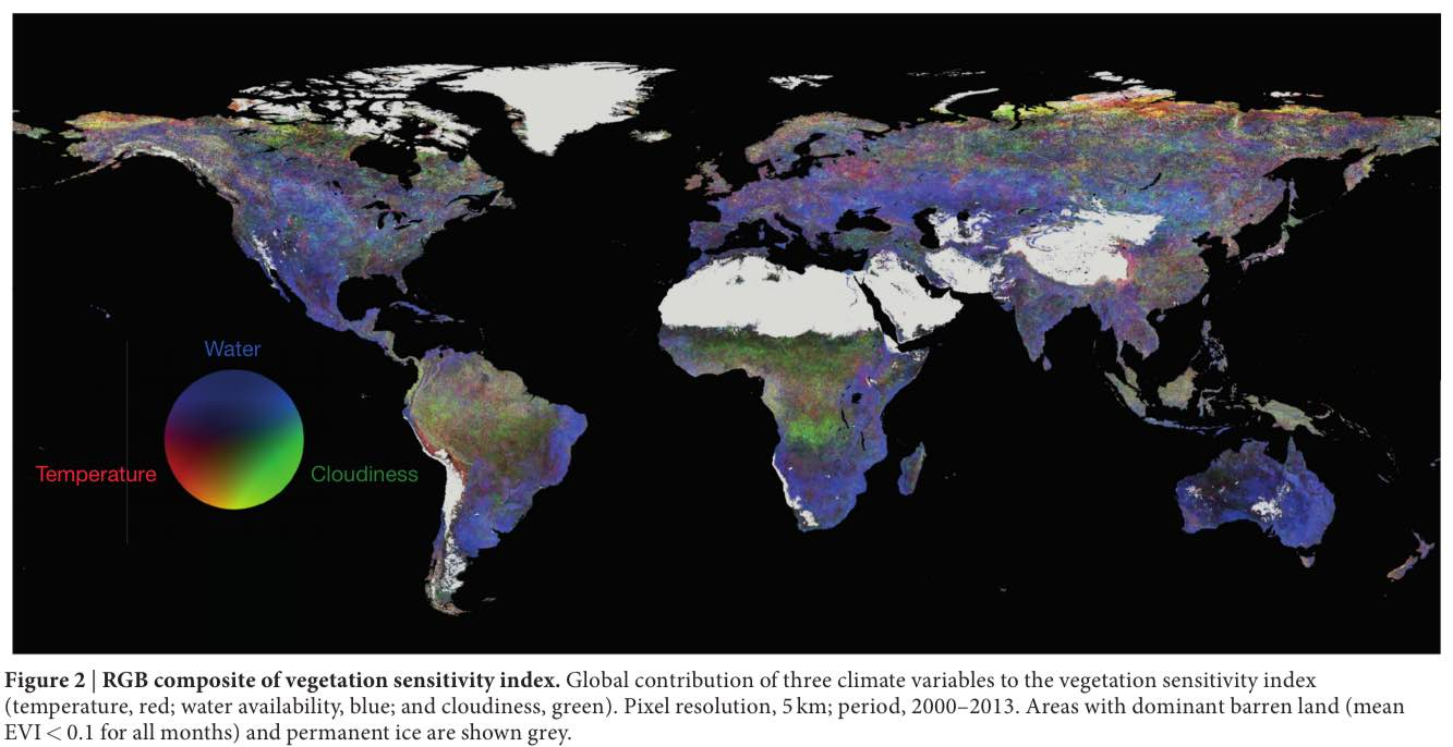
The Vegetation Sensitivity Index (VSI) is an innovative tool developed by researchers to pinpoint areas most at risk from climate change.Utilizing advanced satellite data, this index maps the most vulnerable ecosystems on Earth, effectively highlighting locations that require urgent attention due to climate variability.

Climate Change Risks: Vital Vegetation Sensitivity Index Map

Climate change risks are becoming increasingly apparent as researchers unveil alarming data regarding our planet’s vulnerability.A recently developed vegetation sensitivity index map illustrates these risks by pinpointing the most affected regions around the globe, utilizing advanced satellite data analysis to monitor environmental shifts.